Publications & Conferences
Publications
Smart Cartographic Background Symbolization for Map Mashups in Geoportals: A Proof of Concept by Example of Landuse Representation.
Panchaud, N.H., L. Hurni (2018).
The Cartographic Journal. doi:10.1080/00087041.2017.1414019.
Integrating Cartographic Knowledge Within a Geoportal: Interactions and Feedback in the User Interface
Panchaud, N.H., L. Hurni (2018).
Cartographic Perspectives 89: 5-24. doi:10.14714/CP89.1402.
Smart Cartographic Functionality for Improving Data Visualization in Map Mashups.
Panchaud, N.H., I. Iosifescu Enescu, L. Hurni (2017).
Cartographica: The International Journal for Geographic Information and Geovisualization 52 (2):194-211. doi:10.3138/cart.52.2.4115.
The wheel of design: assessing and refining the usability of geoportals.
Kellenberger B, I. Iosifescu Enescu, R. Nicola, C.M. Iosifescu Enescu, N.H. Panchaud, R. Walt, M. Hotea, A. Piguet, and L. Hurni (2016).
International Journal of Cartography 2(1):95-112. doi:10.1080/23729333.2016.1184552
Hypercube-Based Visualization Architecture for Web-Based Environmental Geospatial Information Systems.
Iosifescu Enescu, I., Vassilios Vescoukis, C. M. Iosifescu Enescu, Fabian Müller, N. H. Panchaud, and L. Hurni (2015).
The Cartographical Journal 52(2): 137-148. doi:0.1080/00087041.2015.1119469
Towards Better WMS Maps Through the Use of the Styled Layer Descriptor and Cartographic Conflict Resolution for Linear Features.
Iosifescu Enescu, I., N. H. Panchaud, Magnus Heitzler, C. M. Iosifescu Enescu, and L. Hurni (2015).
The Cartographical Journal 52(2):125-136. doi:10.1080/00087041.2015.1119468
A 3D Indoor Routing Service with 2D Visualization Based on the Multi-Layered Space-Event Model.
Donaubauer, A., F. Straub, N. Panchaud, C. Vessaz (2013).
In: J. M. Krisp (Ed.) Progress in Location-based Services. Springer Berlin Heidelberg. 453-469. doi:10.1007/978-3-642-34203-5_25
Conference Proceedings
Cartographic Expertise for User Maps in Online Geoportals.
Panchaud, N. H. and L. Hurni (2017).
Proceeding of the 28th International Cartographic Conference. Washington DC, USA, 2-7 July.
Sharing Cartographic Knowledge with the Crowd: on the Complexity of Cartographic Rules.
Panchaud, N. H., I. Iosifescu Enescu, L. Hurni (2015).
Proceeding of the 27th International Cartographic Conference. Rio de Janiero, Brazil, 23-28 August. [link]
A decade of geoinformation sharing at ETH Zurich.
Iosifescu-Enescu, I., C. Iosifescu-Enescu, N. H. Panchaud, A. Tsorlini, L. Hurni (2015).
Proceedings of a pre-conference workshop of the 27th International Cartographic Conference:Spatial data infrastructures, standards, open source and open data for geospatial (SDI-Open 2015).Rio de Janiero, Brazil, 20-21 August.
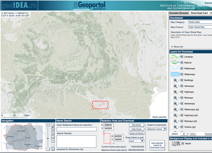
Roadmap to open geodata in Romania.
Ilie, C. M., N. H. Panchaud (2015).
Free and Open Source Software for Geoinformation Conference for Europe 2015 (FOSS4G Europe 2015). Como, Italy, July 14-27. [link]
Definition of a Cartographic Visualization Model for smart cartographic symbolization in an open geoportal.
Panchaud, N. H., I. Iosifescu, L. Hurni (2014).
Proceedings of the AutoCarto 2014 Conference. Pittsburgh (PA) USA, October 6-8.
Open Source Technologies for Integrating Environmental Data in an Online GIS Platform for Interdisciplinary Environmental Research.
Iosifescu Enescu, I., C. M. Iosifescu Enescu, and N. Panchaud (2014).
Proceedings of the AutoCarto 2014 Conference. Pittsburgh (PA) USA, October 6-8.
Service Driven 3D Atlas Cartography.
Panchaud, N., I. Iosifescu, R. Eichenberger, R. Sieber, L. Hurni (2013).
Proceeding of the 26th International Cartographic Conference. Dresden, Germany, 25-30 August. [link]
Advances in Web Service-driven Cartography.
Iosifescu, I., C. Iosifescu, N. Panchaud, R. Eichenberger, R. Sieber, L. Hurni (2013).
Proceeding of the 26th International Cartographic Conference. Dresden, Germany, 25-30 August. [link]
Adding Value to FOSS4G through FOSS4G: An Overview of on Open Source Geodata in General and Open Street Map Data in particular.
Panchaud, N., I. Iosifescu, C. Iosifescu, L. Hurni (2013).
Free and Open Source Software for Geoinformation Conference for Central and Eastern Europe 2013 (FOSS4G-CEE 2013). Bucharest, Romania, June 18-20.
Transition of the GeoVITe Project from Proprietary to Open-Source Software.
Iosifescu-Enescu, C., I. Iosifescu-Enescu, N. Panchaud, L. Hurni (2013).
Free and Open Source Software for Geoinformation Conference for Central and Eastern Europe 2013 (FOSS4G-CEE 2013). Bucharest, Romania, June 18-20.
Cartography with QGIS Server and Extended SDL/SE.
Iosifescu, I., C. Iosifescu, N. Panchaud, L. Hurni (2013).
Free and Open Source Software for Geoinformation Conference for Central and Eastern Europe 2013 (FOSS4G-CEE 2013). Bucharest, Romania, June 18-20.
Workshops
Integrating semantic-based functions for user-generated maps in geoportals.
Panchaud, N. H. and Lorenz Hurni (2016).
Workshop at the AGILE 2016 Conference. Helsinki, Finland, June 14-17.
Using OpenStreetMap Data for Geoidea.ro: Opportunities and Pitfalls of Crowdsourcing for Geospatial Data.
span class="heavy">Panchaud, N., I. Iosifescu, L. Hurni (2013).
Sharing Geospatial Data Workshop 2013. Bern, Switzerland, October 30 - November 1.